Manawatu River science - Kawau, Mangaone, Kahuterawa,Turitea streams
Drawing upon the natural environments of Manawatū, its local history, heritage and the legends of Rangitāne, our Intermediate students of Monrad, set out to learn about the waterways of Tahuna-ā-Rua (An ancient name for the Palmerston North area).
Undergoing a holistic rebranding, the kaupapa and names of the classrooms were modified to embody the legend of Hinetearorangi, a great chieftess from Rangitāne, Ngāti Hāmua who once resided at a village named Tirohanga. The legend states that Hinetearorangi would stand at her village and gaze upon the Tararua ranges, she would identify the two slopes of Pukeahurangi and Pukeamohau, upon doing so she would look directly in between the two slopes and identify Tokatūmoana a mountain peak on the island of Kapiti.
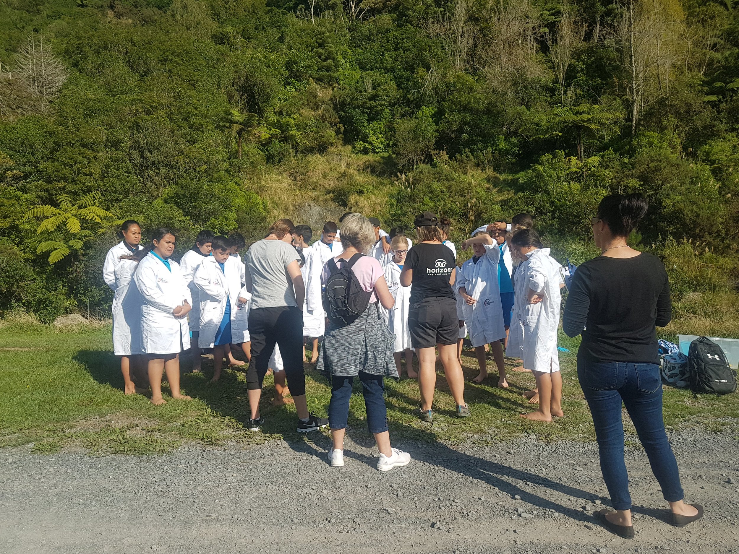
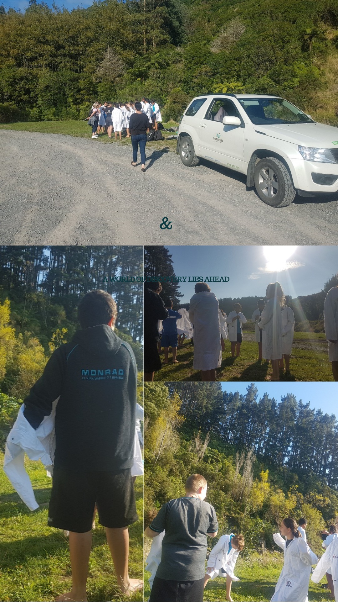
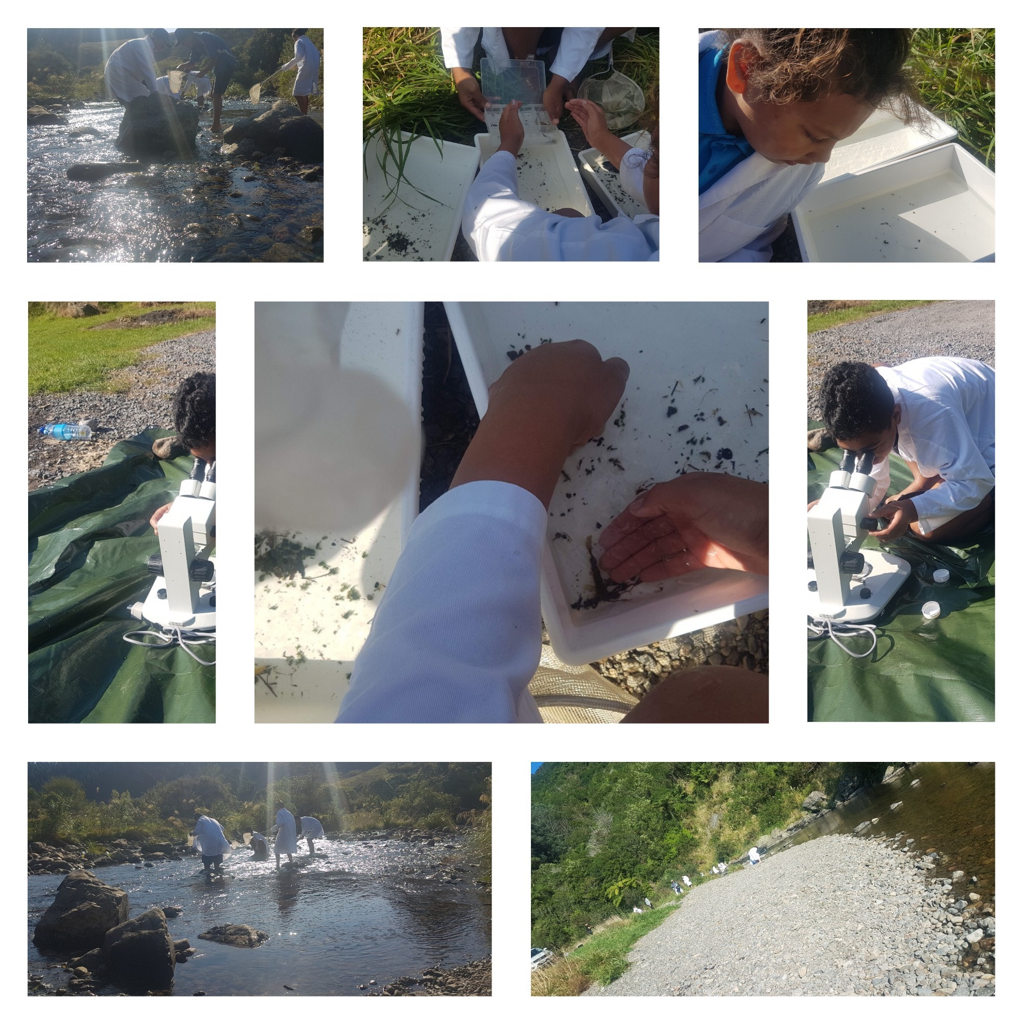
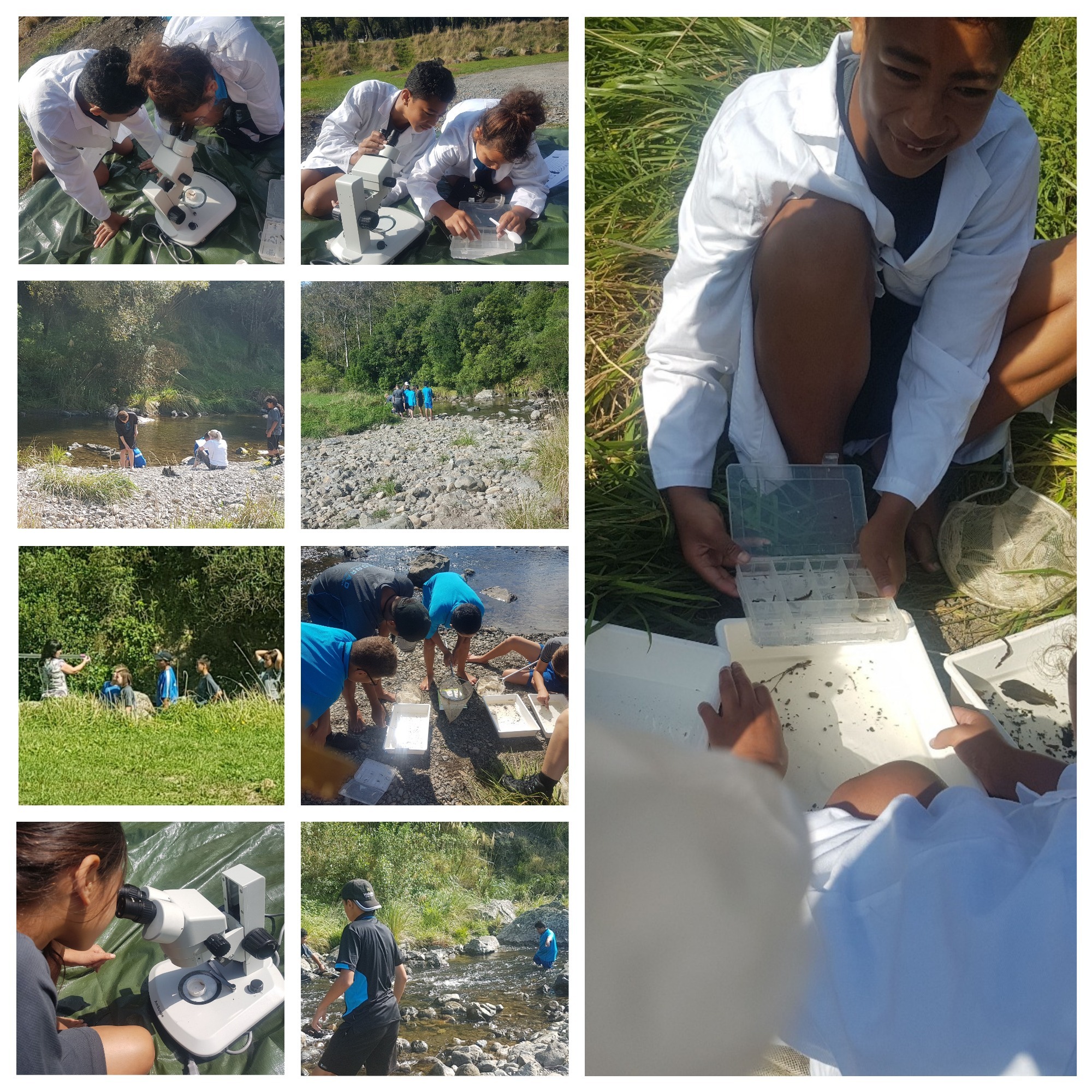
To facilitate the understanding and significance of kaitiakitanga, PTC collaborated with Horizons Regional council scientist Mike Patterson and Enviro schools coordinator Sarah Williams to enhance rangatahi’s appreciation of science and tech behind river quality.
Rangatahi spent the term gaining an in-depth appreciation of Ngā Awa Rere: The Streams- Kawau, Mangaone, Kahuterawa and Turitea. Students learnt that these streams were once a major source of nourishment for the people, the wildlife and the land and represented life flowing from the hills through the veins of the land and into the heart of the Manawatū.
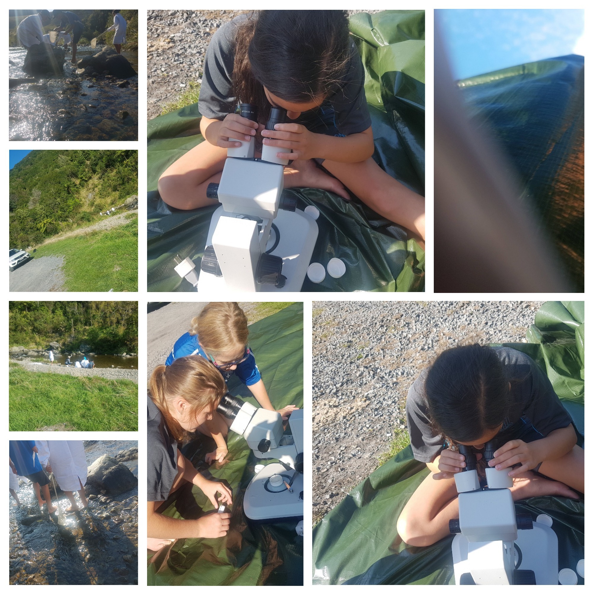
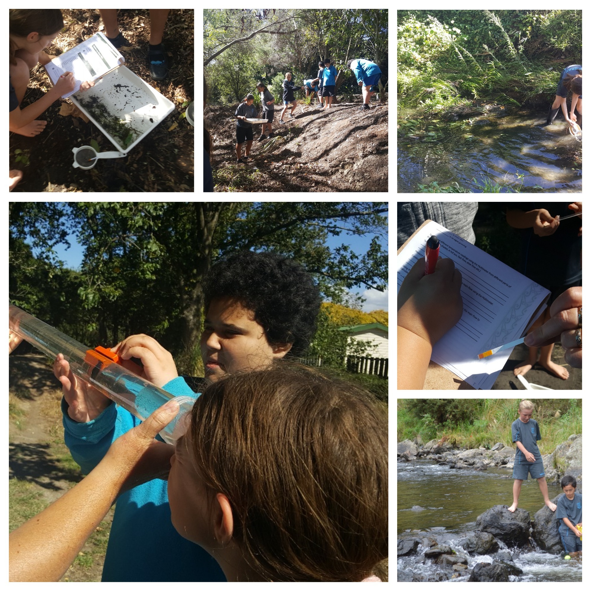
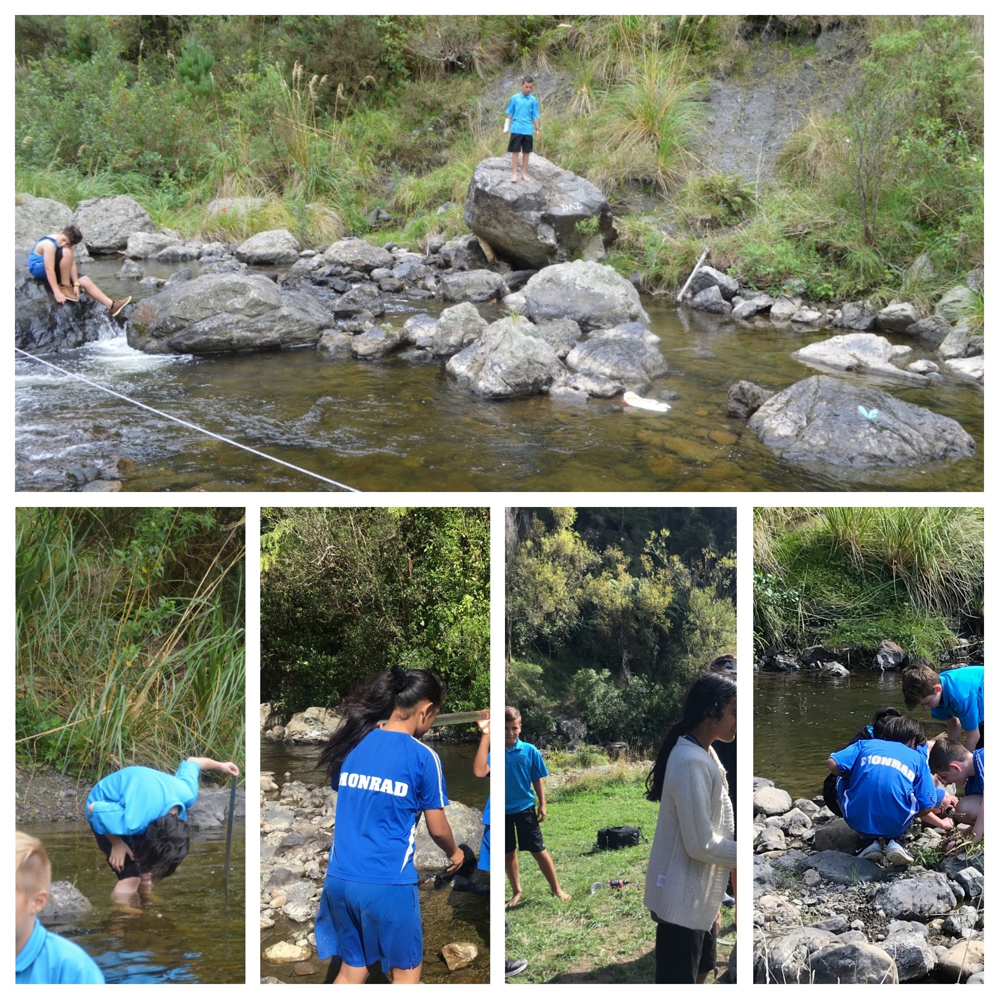
Students learnt about the different techniques for measuring water quality and even had the opportunity to visit some ancient sites in the process.
Students visit ancient site
Mr Currie Regional Manager Higgins concrete provided the group with access to the Awapuni quarry site adjacent to our Palmerston North Concrete.
Rangatahi were able to pay their tribute and respect and collected mauri to represent their uniqueness.
Horizon Scientist Mike Patterson equipping our youth with the scientific knowledge so we can all work together in guarding our taonga, Māori takaro, tikanga, natural resources.
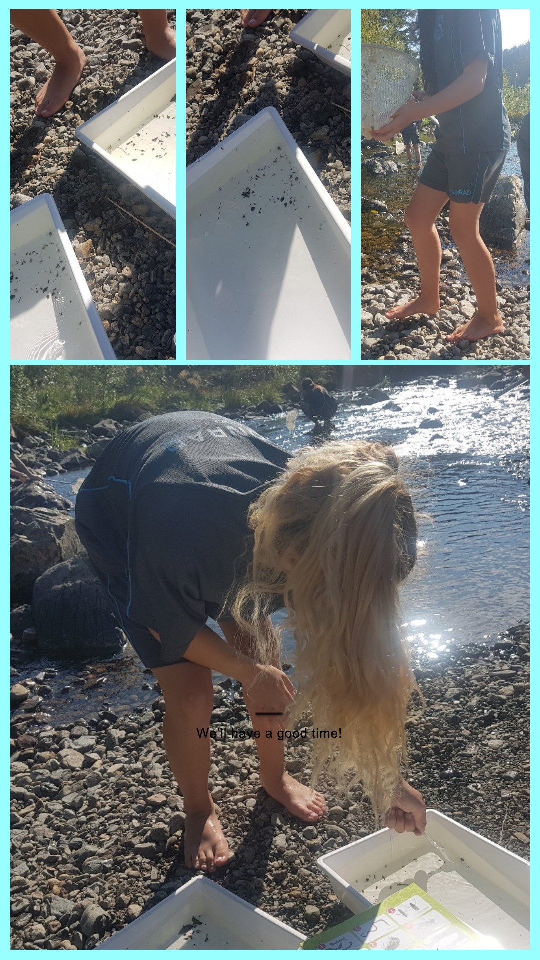
Rangatahi tested water quality at Ahimate beach/Panieri park, Rangitane park and Mangaone stream to compare readings across streams and time. Results obtained were comparable with LAWA readings. Maintaining a healthy stream contributes to preserving New Zealand’s biodiversity in native organisms – fish, birds, invertebrates and algae.
Teachers ensured that the Matauranga Māori was also an essential part of students’ learning. The awa and hāpua were not perceived as separate channels of water, rather everything was connected. Flooding or ‘waipuke’ was seen as a natural replenishing of the land, and it also resulted in all streams, rivers and wetlands connecting as one. The concept of ‘waipuke’ was perceived as a positive natural occurrence, a refreshing so to speak. These waterways were the equivalent of the roads and highways on which the people travelled from place to place.


